Restoration Consultancy in East Kalimantan
Location: East Kalimantan
Timeline: March 2018
Goal: To consult on 50ha of mangroves that had been enclosed and cleared in the Balikpapan Delta to recommend courses of action
Partners
Arasari Enviro Industri
PT ITCI Hutani Manunggal

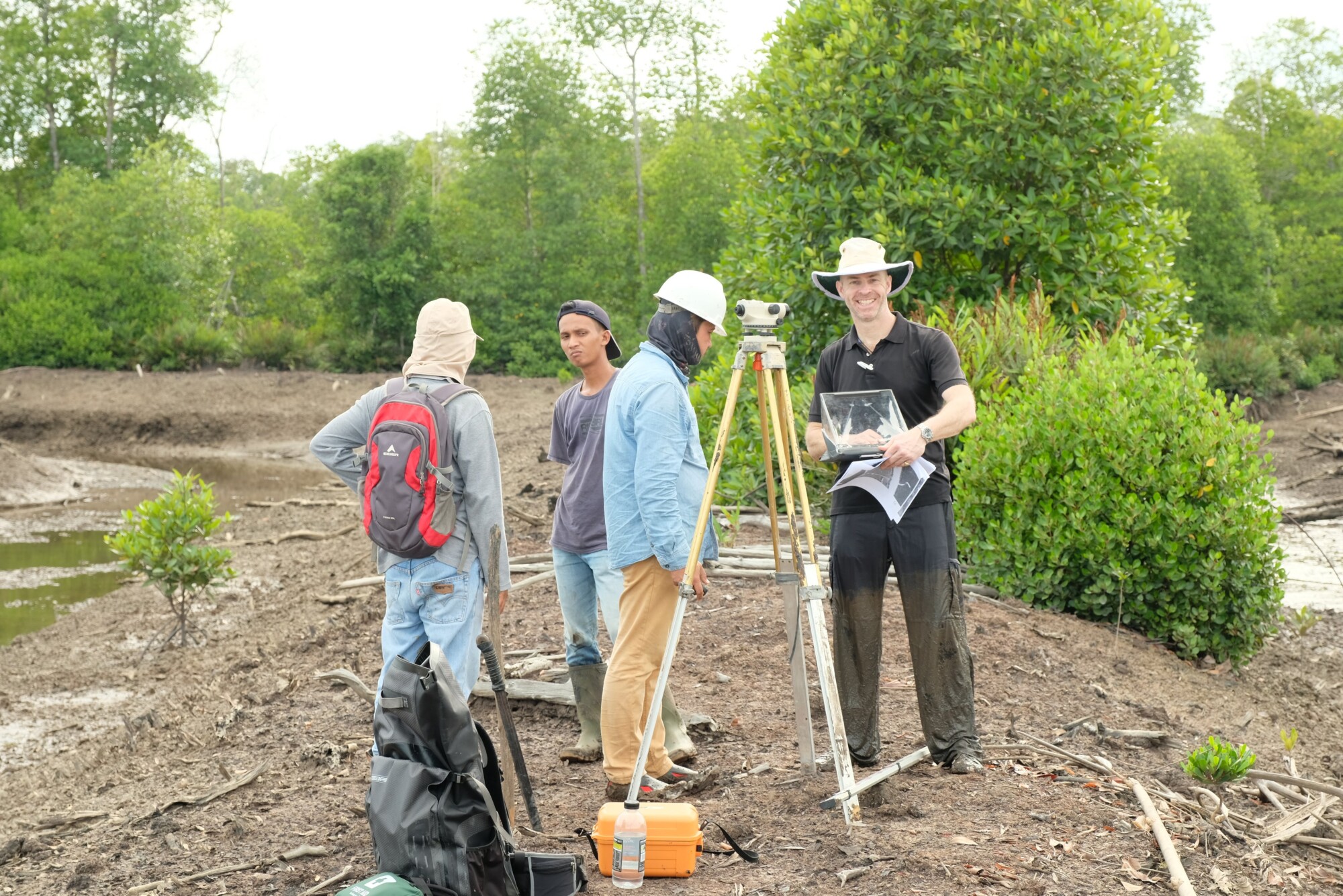
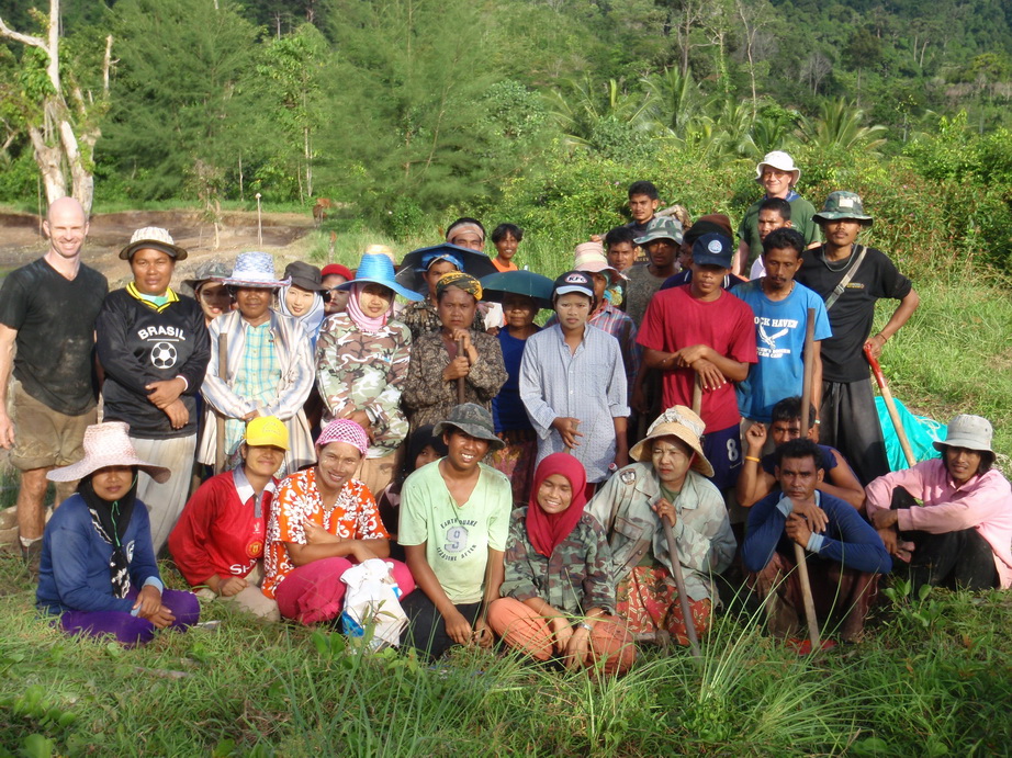
In-depth assessment of shrimp pond restoration site

Comprehensive restoration plan to reconnect the pond to outside ecology
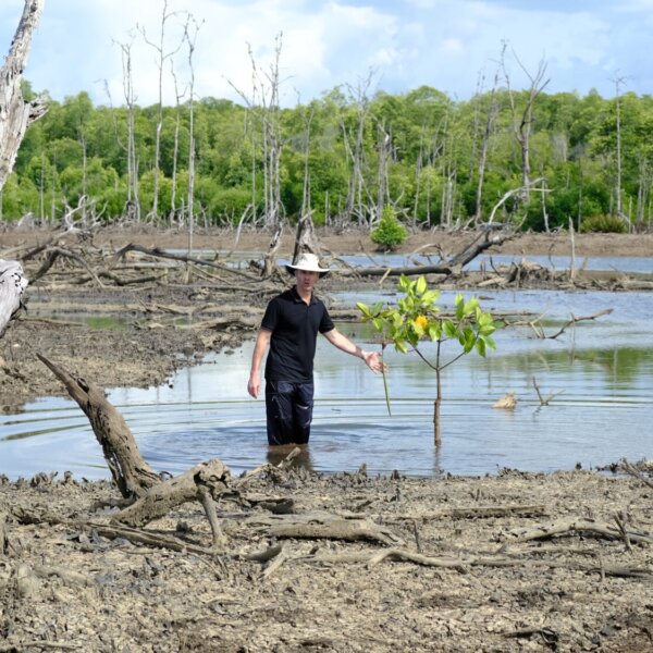
Recommendations included planting guidance, solutions to saturated soils and a traffic-light system for where to work
What we did
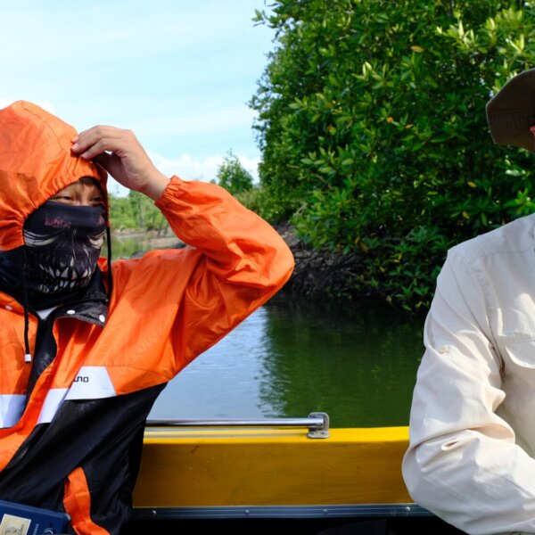
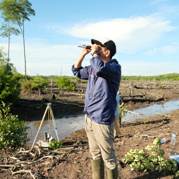
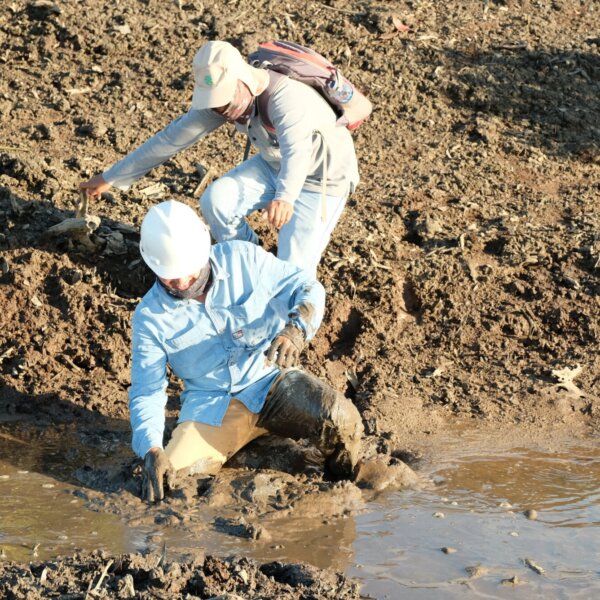
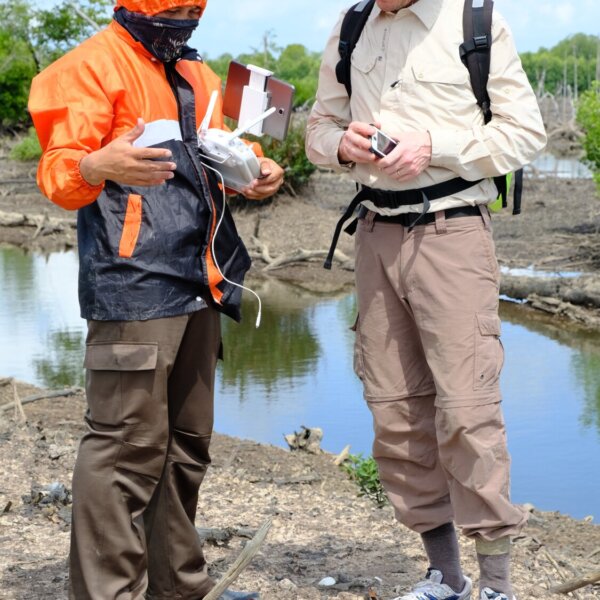
In 2018, our team was asked to consult on a 50ha mangrove site that had been enclosed and cleared, resulting in a loss of tree cover that allowed the mangrove floor to be eroded away. Hills were washed into and filled draining channels, resulting in a flatter pond floor with poorly drained, often saturated soil.
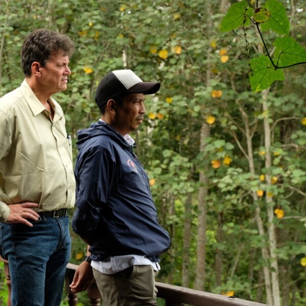
Following an extensive survey with the support of local officials, we produced a robust restoration plan for one of the ponds, to improve the site’s ecological balance, and demonstrated the process to restore further ponds.
Due to the saturated soil and limited tree cover, little natural regeneration was occurring. Our recommendations worked to address these challenges, highlighting strategies and dimensions for pond wall breaches, calculations for breach dimensions, where and what to plant if planting was desired over natural regeneration, and which areas would not work without significant intervention to improve soil drainage.
Interested in working with us?
Get in touch with us at dominic@mangroveactionproject.org
Related work
- Read more about Restoring vital ecosystems in Kenya
Restoring vital ecosystems in Kenya
Location: Kenya Timeline: 28th Feb - 21st March 2022 Goal: To share the knowledge and tools for restoring mangroves: a vital…
- Read more about Bringing Mangrove Education to Schools in Bangladesh
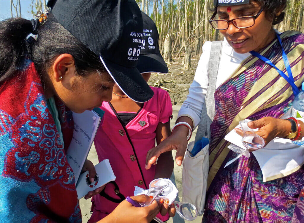
Bringing Mangrove Education to Schools in Bangladesh
Location: Khulna, Bangladesh Start Year: July 2013 Timeline: 8 days Goal: To deliver Marvellous Mangroves workshops to rural schools in…
- Read more about Delivering mangrove restoration best practices in the Bahamas
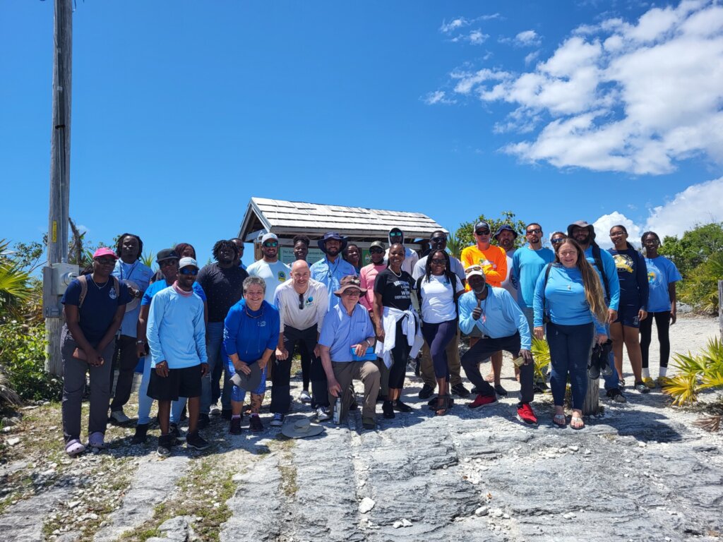
Delivering mangrove restoration best practices in the Bahamas
Location: Bahamas Timeline: March - April 2023 Goal: To support local mangroves restoration efforts and implement best practices for future…
- Read more about Fostering a sustainable network in Honduras
Fostering a sustainable network in Honduras
Location: Honduras Timeline: February 2015 Goal: To work collaboratively with local officials to persuade local villagers and village leaders to reduce…
- Read more about Restoring Aquaculture Ponds in Thailand
Restoring Aquaculture Ponds in Thailand
Location: Thailand Timeline: Feb - Oct 2009 Goal: To implement CBEMR training workshops that would result in local restorative action.…
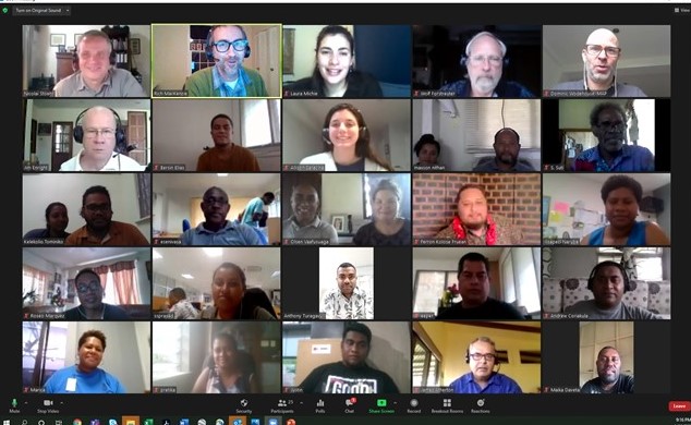
- Read more about Supporting Pacific Island mangrove restoration
Supporting Pacific Island mangrove restoration
Location: Virtual Timeline: January - February 2021 Goal: To partner with the US Forest Service to improve the mangrove restoration skills…